Lofoten Islands
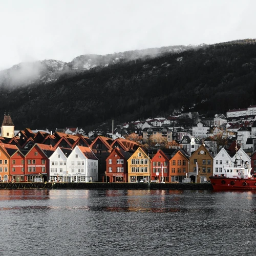
The Lofoten Islands are a 160 km long mountain range with wild rocky mountains that rise directly from the sea. The mountains, in particular, were formed during the ice Age from 9,000 to 11,000 years ago and formed a magical unique landscape. The archipelago is located in Northern Norway in the waters of the Norwegian Sea. The Lofoten Archipelago covers an area of 1,227 km2.


Lofoten Islands on map
The TOP 20 most popular places of Lofoten Islands are displayed on the map. Show all
Overview

Lofoten Islands
Lofoten is an incredible place of contrasts and amazing nature. Here you can see the northern lights and surf, go on a whale safari and see the dangerous Maelstrom whirlpool, go hiking to a mountain peak or relax on the beach.

Lofoten Islands
The Lofoten Islands, despite their northern location, have a rather mild climate due to the warm Gulf Stream, from mid-June to mid-July the sun dominates here, and on a polar night the islands are strewn with snow-white snow.

Lofoten Islands

April 22, 2024


Share


